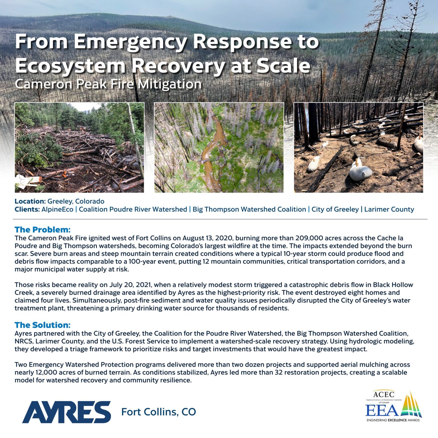
The Problem: On August 13, 2020, the Cameron Peak Fire ignited near the Continental Divide west of Fort Collins and burned 209,000 acres across the Cache la Poudre and Big Thompson Watersheds before containment on December 2. The largest wildfire in Colorado history at that time did not stop at the burn scar. Expansive high-severity burn combined with naturally steep and confined streams created conditions where a typical 10-year storm could generate flows comparable to a 100-year event, placing flash floods and catastrophic debris flows within reach of 12 mountain communities and a major municipal water supply. The threat was not theoretical. On July 20, 2021, a modest storm triggered a catastrophic debris flow in Black Hollow Creek, a severely burned tributary that Ayres had already identified as the highest-priority drainage in the watershed. The event destroyed eight homes and claimed four lives, giving human weight to the program’s mission. Simultaneously, the City of Greeley, whose water supply depends almost entirely on the Poudre River, faced periods when post-fire contaminated inflows rendered its water treatment plant inoperable. Both crises demanded an immediate, coordinated, and comprehensive response. The Solution: Ayres partnered with the City of Greeley, the Coalition for the Poudre River Watershed (CPRW), the Big Thompson Watershed Coalition (BTWC), the Natural Resources Conservation Service (NRCS), Larimer County, and the U.S. Forest Service (USFS) to lead and implement one of the most comprehensive post-fire watershed recovery programs in the state. Rather than responding reactively to isolated problem sites, the team built a watershed-scale triage framework, using high-level hydrologic modeling to rank sub-watershed risk across both drainages and sequence interventions from the most critical sites outward. Two parallel Emergency Watershed Protection (EWP) programs ran simultaneously, coordinated rather than duplicated: Greeley’s program targeted water quality and stream recovery, while Larimer County’s effort concentrated on roadway and infrastructure protection. Together, the two programs installed more than two dozen protective features across the burn scar while CPRW and partners aerially mulched nearly 12,000 acres by helicopter to stabilize burned slopes. As the emergency stabilized, the program pivoted to long-term recovery. Ayres translated Low-Tech Process-Based Restoration (LTPBR) ecological concepts into engineering-grade construction deliverables, quantifying risk, modeling hydraulic outcomes, and integrating features such as post-assisted log structures (PALS) and beaver dam analogs alongside traditional structural solutions at a scale not previously attempted in Colorado. With more than 32 process-based restoration projects completed over five years, the program now targets depositional meadow systems to improve sediment retention, floodplain connectivity, and riparian habitat across both watersheds. The program’s techniques directly led to the development of Colorado’s Wildfire Ready Watersheds (WRW) framework, a statewide initiative documenting postfire mitigation approaches for future watershed managers across the West. This program demonstrates that a single watershed response can simultaneously protect lives and property, safeguard a municipal water supply, and restore long-term ecological function. It offers a transferable template for how Colorado and the Western U.S. should respond to the next fire: act immediately on life-safety and water quality, use modeling to prioritize investments, build broad coalitions early, and invest in the headwater systems that will determine watershed outcomes for decades to come.